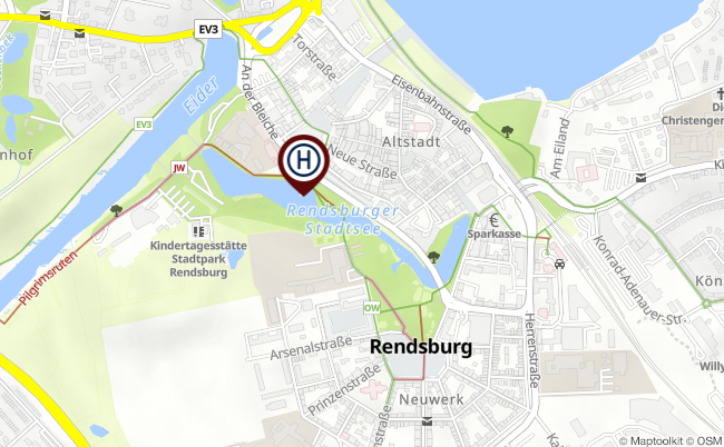
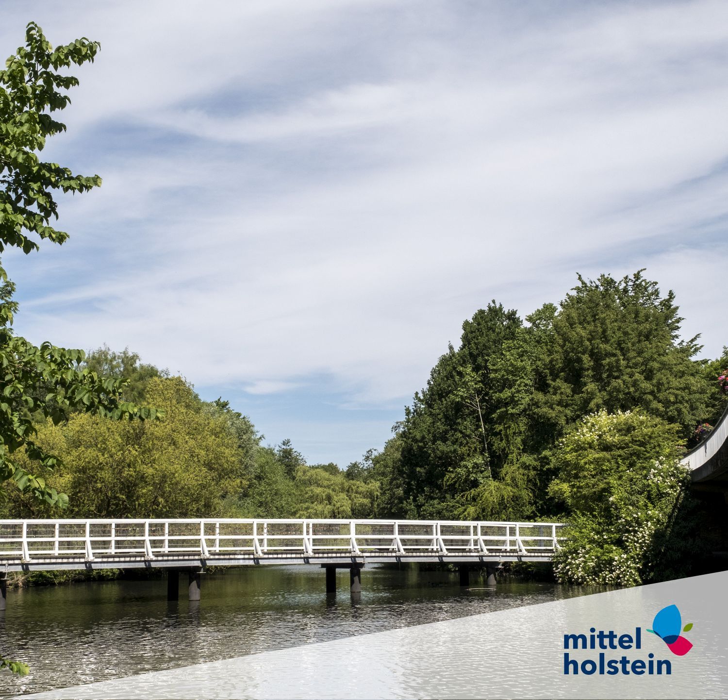
Rendsburg city lake
The Rendsburg city lake has an area of about 3.5 hectares and reaches a maximum depth of 1.5 meters. It was created in 1893 during the construction of the Kiel Canal.
Its origin can be traced back to a narrow arm of the Eider, which was called Holstengraben south of the old town. The old town of Rendsburg was originally located on an island or on a wharf between the northern main arm of the Eider with the Obereider and the more southern Holstengraben. The water level of the Obereider was lowered by the construction of a lock, which caused the old town to lose its island location. Further construction work finally led to the separation of the Obereider from the city lake in 1910. To this day, Rendsburg's former insularity can be seen from the Upper and Lower Eider rivers and the town lake.