Fockbeker Moor
The Fockbeker Moor is with its 2500 years a comparatively young Geesthochmoor, which has spread in a shallow depression.
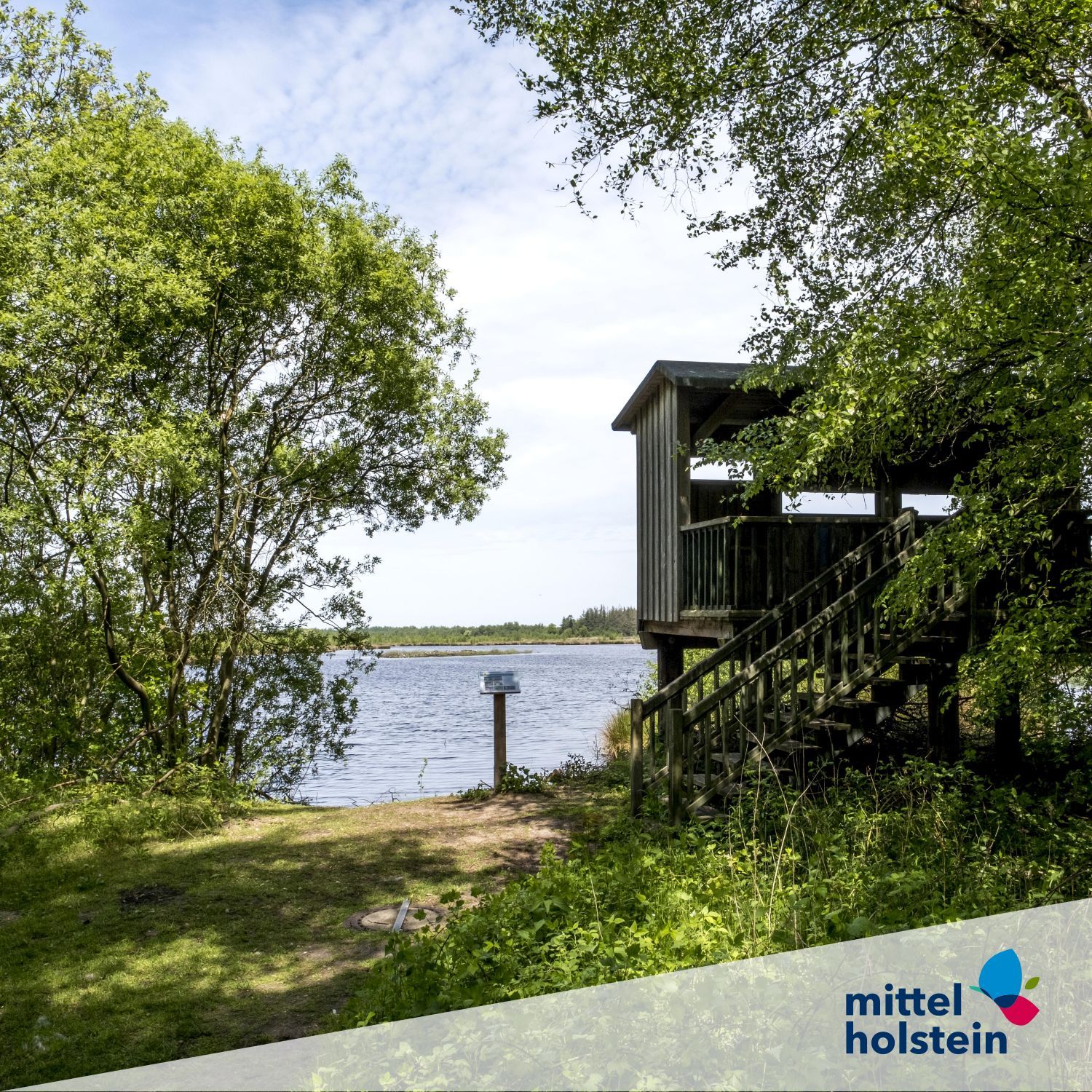
The bog covers an area of about 379 hectares. Due to peat cutting and drainage, the moor was strongly changed. Since 1817 the intensive use of the Fockbeker Moor began. Through the Carlshütte, an ironworks, the peat was used industrially as fuel from 1827. The moor was used until the 1950s. After World War II, mechanical peat cutting was carried out in the southern part of the moor, which led to the extraction of the raised bog peat down to the mineral subsoil in large parts. But not only the extraction of fuel peat caused large parts of the peatland to disappear, but also due to the conversion into arable land and grassland. Maintenance measures for rewetting have been carried out since 1980. For this purpose, the drainage ditches in the moor were closed. A cycling and hiking trail leads through the nature reserve "Fockbeker Moor" as part of a circular route of the municipality of Fockbek. On this circular route there is also a viewing platform from which you can overlook the entire Fockbeker Moor.